How curb management is part of the smart city and mobility road map.
By Teresa Trussell, CAPP
AS A PARKING INDUSTRY VETERAN, I have been reading this magazine for approximately 17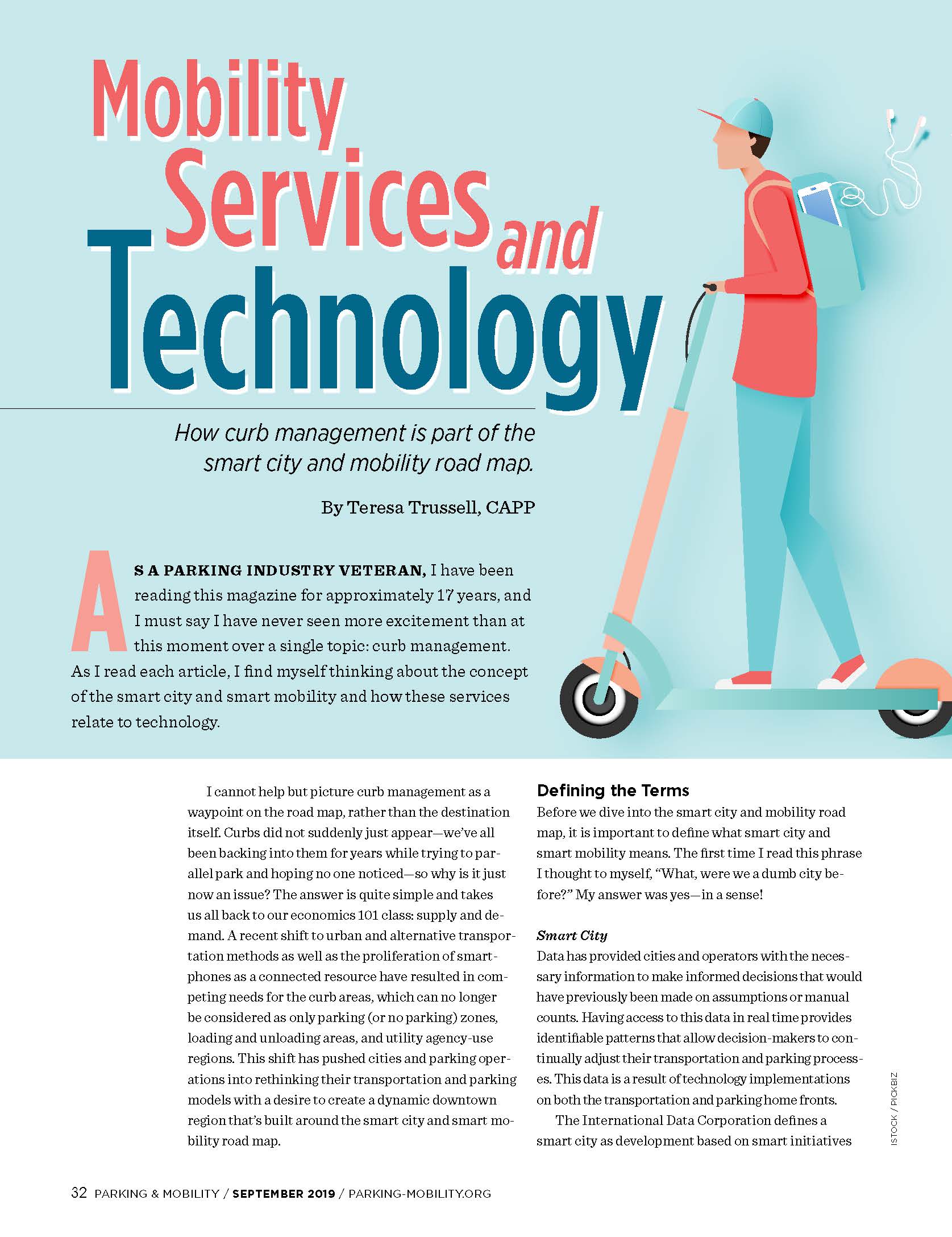 years, and I must say I have never seen more excitement than at this moment over a single topic: curb management. As I read each article, I find myself thinking about the concept of the smart city and smart mobility and how these services relate to technology.
I cannot help but picture curb management as a waypoint on the road map, rather than the destination itself. Curbs did not suddenly just appear—we’ve all been backing into them for years while trying to parallel park and hoping no one noticed—so why is it just now an issue? The answer is quite simple and takes us all back to our economics 101 class: supply and demand. A recent shift to urban and alternative transportation methods as well as the proliferation of smartphones as a connected resource have resulted in competing needs for the curb areas, which can no longer be considered as only parking (or no parking) zones, loading and unloading areas, and utility agency-use regions. This shift has pushed cities and parking operations into rethinking their transportation and parking models with a desire to create a dynamic downtown region that’s built around the smart city and smart mobility road map.
Defining the Terms
Before we dive into the smart city and mobility road map, it is important to define what smart city and smart mobility means. The first time I read this phrase I thought to myself, “What, were we a dumb city before?” My answer was yes—in a sense!
Smart City
Data has provided cities and operators with the necessary information to make informed decisions that would have previously been made on assumptions or manual counts. Having access to this data in real time provides identifiable patterns that allow decision-makers to continually adjust their transportation and parking processes. This data is a result of technology implementations on both the transportation and parking home fronts.
The International Data Corporation defines a smart city as development based on smart initiatives combined to leverage technology investments across an entire city with common platforms increasing efficiency, data being shared across systems, and IT investments tied to smart missions. A common goal shared from city to city is to improve the lives of its citizens and visitors. By combining this common goal and the concept of data, the smart city uses technology to connect various components across the city to derive data and improve the lives of its citizens and visitors.
Smart Mobility
This concept is a new way (or perhaps a return to a former way) of thinking about how we get from point A to point B with an emphasis on moving people rather than cars, zero emissions, and a cleaner, safer, and more efficient urban district. These modes of transportation include scooters, bicycles, buses, light rail trains, subways, streetcars, taxis, autonomous vehicles, electric vehicles, walking, pedicabs, and ride-share vehicles. Smart mobility is often designed around five key principles:
- Safety: Reduction of injuries and fatalities and an urban environment that is safely walkable.
- Clean Technology: Transportation modes focused on zero-emissions.
- Integration: Connecting the dots of transportation modes from door-to-door with route planning using technology as well as connections with city resources outside of parking and transportation needs.
- Efficiency: Moving people to their destinations with minimal disruption.
- Flexibility: Consumers have options regarding modes of transportation that suit their individual needs and preferences.
The link between smart cities and smart mobility is the direct connection between data gleaned from technology in support of the smart mobility concept and ultimately increasing usage of alternative transportation options and connect the dots for consumers. Through data usage, apps can allow consumers to plan routes that avoid traffic congestion, locate parking while avoiding congested parking areas, and use various modes of alternative transportation for the first and last miles. Likewise, operators can use this same data to improve safety within the city by identifying an issue before it is problematic—such as changing traffic patterns.
Combined, we have a definition of a smart city using the smart mobility concept as a city that uses technology to connect various components across the city to derive data and improve the lives of its citizens and visitors by offering various forms of transportation options focused on a cleaner, safer, and more efficient environment.
Creating the Smart City and Mobility Road Map
Our world is becoming more urbanized than ever before. By 2050, more than 60 percent of the world’s population is expected to live in cities, and public and private companies, as well as federal, state, and city governments, are getting involved to make the connection between people and the city itself. This includes rethinking the former downtown model. Studies say parkers account for 30 percent of circling traffic. Parking apps are addressing this by directing people to available areas. As the focus on smart mobility increases, a shift in the parking model must also occur. Limited land access requires parking outside city regions with a dependency on the first and last mile revolving around smart mobility—or mobility-as-a-service (MaaS).
The objective of MaaS is to provide an alternative to private vehicle use while reducing traffic congestion in a way that is convenient, sustainable, and a cheaper option to traditional transport. When considering the way in which this transforms the downtown districts, a direct competition is created between the increasing city population and the alternative transportation modes, which creates a safety concern in which pedestrians, bicyclists, autonomous vehicles, and ride-share vehicles compete with the single-occupancy vehicle. The resulting model is to focus the urban area around the smart mobility concept.
Many operations are creating a set of guiding principles for emerging mobility services and technologies to provide a consistent policy framework of evaluating new mobility services to ensure they align with current city goals as well as assist in shaping future areas of studies, policies, and programs, creating a smart city and smart mobility road map. This is redefining the way our cities will be developed in the future
Components of the Map
The smart city and smart mobility road map are made up of:
- Mobile Apps: Provide immediate access to data and communication channels, allowing people to efficiently conduct business with less interruptions. For example, locate a parking spot while avoiding traffic jams; identify the nearest bus stop, bicycle, or scooter rental; or catch a streetcar while reducing circling traffic patterns.
- Data and Technology: Using mobile applications and technology advancements, parking operations suddenly have access to large amounts of data that were previously unavailable. This data provides insight regarding high-congestion areas and the ability to create a pricing model designed to encourage transit use through proper space utilization, as well as create a basis for the smart city and mobility platform.
- Transportation Alternatives (First and Last Mile): Decrease traffic congestion within urban areas with a transportation focus. Mobile apps provide consumers with the ability to park farther away from their intended destination followed by alternative transportation option assessments via their smartphones. This is an invaluable solution to the issue of limited land access and perceptions of parking shortages.
- Right-sized Parking: Parking operations are consistently challenged while balancing the parking supply and demand equation. Parking planning must meet the goals of the city or operation to include events, but planning for busy times often leaves an excess of parking during standard periods. To right-size parking, data is essential. This is a result of transportation and mobile applications and space-counting technology. Traffic and pedestrian patterns are the key to understanding where parking is needed, how it can be relocated, and where transportation modes can be implemented.
- Land Use and Infrastructure: Through data analysis, efficient land use is identified, promoting a positive financial impact on the city or operation’s infrastructure investment planning as future technologies are considered. Autonomous vehicles, electric-vehicle charging stations, and shared-mobility services are changing the way we think about city parking garage use. Most of these items are currently managed along curbs or ad-hoc areas with personal vehicles occupying large structures in convenient areas. With the model shift, most personal vehicles will be expected to park in exterior areas while people use smart mobility options to reach the urban area. Garages will consist of items previously managed along curbs, creating smart mobility hubs.
- Curb Management: As we move shared mobility services away from our curbs, we open the curb areas for a new use that is centered around the smart mobility concept while creating a safe environment for transit and pedestrians and freeing space for business deliveries. While new parking structures can be built, curb availability is limited. Limits on how the curb is used must be addressed as we restructure the transportation and parking environments.
- Bicycle and Scooter Valet Services: As we ask consumers to consider alternative transportation methods, the use of bicycles and scooters has increased dramatically. This has also resulted in large quantities of bicycles and scooters being left haphazardly on sidewalks and in messy clusters. Operators, faced with the need for a quick, easy, and convenient return of these shared items, created the concept of a bicycle and scooter valet service, ideally housed in the mobility hubs mentioned above. Consumers simply drop the bicycle or scooter off to the attendant who takes care of putting it away while the consumer continues about his business. Additionally, a bike service area is available for riders who need to repair a tire or service their bike.
- Electric and Autonomous Vehicles: With a focus on zero emissions, smart cities will undoubtedly use shared, electric, autonomous vehicles to transport people from one point to another. Consumers will simply call for a ride using their phones, much as we do when using services such as Lyft and Uber. Additionally, with the anticipated increase in electric vehicle use, charging stations will be provided in the mobility hubs where single occupancy, gas-powered vehicles parked.
The road map will consistently change as technology advancements occur and as human beings alter their behavior and environmental considerations. However, a foundation for the smart city and mobility road map is certainly identifiable, and the development of mobile applications and smartphone/smartwatch services geared toward the transportation and parking industry is a driving factor that has propelled this new vision. The concept of curb management is only a portion of the smart city and smart mobility road map—a part that is dependent on other portions for success in the present as well as in the future.
TERESA TRUSSELL, CAPP, is Midwest sales director of PayByPhone. She can be reached at ttrussell@paybyphone.com.